The Meteorology, Climatology, and Geophysics Agency (BMKG) revealed a number of factors that made the weather conditions starting today (29/12) increase.
"Today, December 29, the condition of atmospheric dynamics in Indonesia is still quite significant, there has even been an increase in several regions. The basis for considering this development is still related to various phenomena," said Dwikorita Karnawati, Head of BMKG, in an online press conference, Thursday (29/12) .
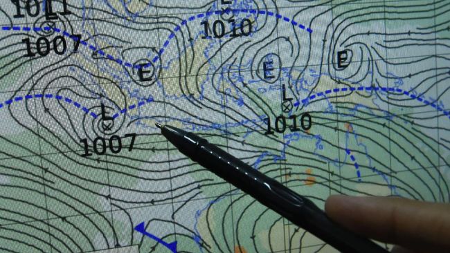
He said these phenomena include, first, the Asian monsoon or significant changes in wind patterns in Southeast Asia, China, to India, "which bring the rainy season in Indonesian territory."
"Now the Asian monsoon is increasing in intensity and we are detecting a potential increase in wind speed and rainfall," he added.
Second, continued Dwikorita, the Madden-Julian Oscillation (MJO) is still active. This phenomenon moves from the Indian Ocean across the equator to the Pacific Ocean.
MJO is a large-scale atmospheric circulation anomaly originating from above the West Indian Ocean that spreads eastward in the tropics. Movement has a speed of 5-10 meters per second with a duration of 30-60 days.
Third, Dwikorita said another influential factor was the phenomenon of atmospheric waves at the equator in the last week to the next few days.
According to him, this contributes significantly to increasing the growth of rain clouds with the potential for heavy to very heavy rainfall and becomes extreme for strategic areas.
Fourth, a low pressure center in Australia which can form a wind confluence around the southern part of Indonesia in the equator. Dwikorita said this phenomenon has the potential to significantly increase rain clouds around Java to Nusa Tenggara.
Fifth, he continued, the phenomenon of cold surge and cross-equator flows.
Seruak cold itself is a mass flow of cold air originating from mainland Asia around Tibet through the South China Sea to the western part of Indonesia during the winter Asian monsoon.
"The phenomenon of cold air rushing from the Tibetan plateau and equatorial traffic flows is still active, although its intensity is starting to weaken," he said.
"These conditions still contribute to increased rainfall in western Indonesia," he added.
Based on the analysis of atmospheric modeling that has been carried out, BMKG has finally predicted the potential for increased rainfall starting December 30-31 in several regions in Indonesia.